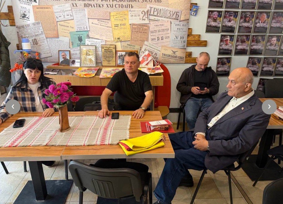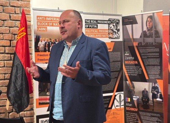

Inyazor (elder) of the Erzya people, Syres Bolyaen, made a coming out. Without hesitation, he voiced (1) the territorial encroachment of the future independent Erzya-Mokshan state and (2) the principles of its future structure.
This message from Mr. Bolyaen so revolutionarily changes the current discourse on the future territorial demarcation of independent states of post-Russia that we decided to divide its analysis into two parts.
It should be noted that until now, representatives of the enslaved nations of the Russian Federation have not always dared to voice even their plans to leave this criminal federation, let alone claim the true ethnic borders of their nations instead of the framework of the imperial “stalls” into which, as if to reservations, those people were driven in favour of further Great Russian assimilation and the gradual “nibbling” of their ethnic-majority outskirts.
We can already foresee the caustic sarcasm of supporters of a “one and indivisible Russia” on both sides of the imperial spectrum – both the Strelkov-Girkin type of monarchy-conservatives and the Navalny-Schlosser type of liberals. Having seen the map of the Erzyans Mastor, they will sarcastically ask why there are so few regions – only five (except for the Republic of Mordovia itself, see the blue map), or ten (for example). But the Erzyans do not need anyone else – these maps of actual borders (which do not include the borders of the current regions, see the green and pink maps) demonstrate not the “greed” of the Erzyans in exile, but, rather, our (and the entire world around us) ignorance of the reality on the ground. Studying local toponymy would lead us to the same (approximately) map – because if you are at least superficially familiar with Erzya and Moksha onomastics, then in addition to Soviet (like Pervomaisky) or Tsarist (Spaso-Pokrovskoye) toponyms, autochthonous ones still dominate: Tetyushevo, Chechery, Morsovo (it’s not from Mors, believe me), Vedeniapino, Abashevo, Teleshovka, Lipleyka, Bolshaya Kavendra, Novye Pichury. And I want to ask in return – doesn’t all this Finno-Volga “abracadabra” break your “Russian-speaking jaw”, doesn’t it wear out the left hemisphere of your brain from the inability (because of impossibility) to explain all these toponyms within the framework of the Slavic semantic space?
There will be certain objective reasons for such skepticism: after all, the ethnic territories of the Erzyans and Mokshans have been transformed into an internal enclave in the Moscow kingdom and the Russian empire for over 500 years – how is it possible that during such a long period, at least a somewhat noticeable, unassimilated nation by the imperial Great Russians has still survived?
We answer:
This enclave is far from surrounded on all sides by the Great Russian majority – to the north and east they border the Turkic and other Finno-Ugric nations of the Volga region (Tatars, Chuvash, Mari);
The empire moved so quickly to conquer new territories – Siberia, the Far East, the North Caucasus, Central Asia – that it objectively did not have time to qualitatively “digest” the territories it had recently conquered;
Unfortunately, some nations of Moscow’s “inner Finno-Ugric” were even less fortunate: for example, the Merya, near whose former capital – Murom – the borders of the Erzyan Mastor stop, almost disappeared, as if proving that “we don’t need anyone else.”
The empire could resort to the complete Russification of narrow strips of territory located along transport corridors – navigable rivers, and later – railways. Therefore, the most apt description of the principle of ethnic resettlement within the empire (and later – the federation) is precisely the “cross-strip”. Pro-imperial regionalists (such as Rostislav Turovsky) for some reason write this “cross-strip” as an asset for preserving the integrity of the federation in the future, but it is a double-edged sword, and it can simply result in the loss of certain strips of territory for the Great Russians (regardless of who nominally inhabits it there in the majority).
There are many negative precedents in history when the borders of sovereign countries drawn “under the ruler” on the map by some imperial documents (such as Sykes-Picot, which so “wisely” divided Syria, Lebanon, Iraq, and Jordan) still exist – therefore, the enslaved nations of Post-Russia have every reason to reject the insistence on the current internal administrative-territorial division of Russia as the future borders between them.
Another such precedent should be the division of the German and Austro-Hungarian empires after the defeat in the First World War: the one who initiated aggression and demonstrated his tendency to relapse into aggression in the future deserves nothing more than the merciless fragmentation of his territory into as many new independent countries as possible, which must be of sufficient size – both territorially, economically and demographically – to be stable and resistant to future attempts at irredentism by the former metropolis. We should be realistic and admit that it will not be possible to completely reduce the future Muscovy exclusively to the borders of the Moscow Ring Road, but we should limit their future demographic and economic capabilities as much as possible to exclude the likelihood of any further aggression from their side. Ukraine is interested in this, Europe is interested in this – and our current and future allies, the independent states of Post-Russia, are interested in this. And the declared territorial concept of the future Erzyan Mastor is completely in the spirit of the borders of Czechoslovakia, Hungary, Austria, Romania and Yugoslavia agreed upon during the Paris Conferences of 1918 – borders, most of which have survived to this day. Borders, which, with their configuration, contributed to the formation of a peaceful, creative and civilized Europe, not the one we knew before 1918.