Anti-imperial Block of Nations

The map was released by the Gorky City Committee of the All-Union Communist Party of Bolsheviks in 1936 as a copy of the map from the publication: Album of diagrams, maps, cartograms and diagrams for Lenin’s teachings on imperialism. ISOSTAT Institute, Moscow, 1935. Legend: blue – “areas of predominance of Great Russian nationality”, blue shading – “oppressed nationalities in Tsarist Russia”, green with shading – “actual colonies of Tsarist Russia”, green without shading – “sphere of predominant influence of the Tsarist Empire “, black shading on yellow – “objects of aggressive aspirations.” A year later, in 1937, the ISOSTAT Institute will be closed.


Kyrylo Halushko

LIKБЕЗ

More from the category

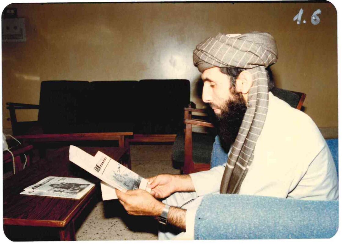
Secret mission in Peshawar: how the OUN liberated Ukrainian prisoners in Afghanistan and forged an anti-imperial front August 14, 2026 by Hennadiy Ivanushchenko History In the corner of the room, in an armchair, amidst the disturbing atmosphere of Peshawar,…
About Muscovite myths surrounding the celebration of the Transfiguration of the Lord August 10, 2026 History The tentacles of Russian imperialism are emerging in the most unexpected places, especially near churches.…
What did the newspaper “Pravda” write about the Captive Nations Week in 1985? August 6, 2026 by Hennadiy Ivanushchenko History "Pravda" called for support for the enslaved nations, printed a speech by Yaroslav Stetsko, demanded…
A report on the trip to Belgrade of ABN representatives Mr. Stolyar and Ms. Halyna Klymuk. 1977 July 24, 2026 History A report on a trip to Belgrade for a conference of states participating in the…
Documents: Captive Nations Week Mass Rally of ROC. 1977 July 14, 2026 History This is a series of official documents and speeches related to the annual mass rallies in…
In memory of Yaroslav Stetsko July 6, 2026 History Today, 5 July 2026, marks the 40th anniversary of the death of Yaroslav Semenovich Stetsko,…